Liberation Route Arnhem

Distance:
42 km
42 km
Duration:
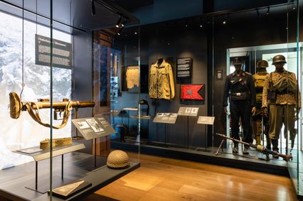
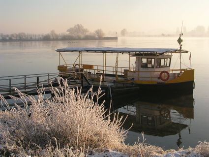
On this route, you partly follow the Rhine and cross the river at the John Frost Bridge in Arnhem, which is also popularly called the ‘Bridge too Far’, after the famous film that was made about the battle between the Germans and the British. The latter wanted to conquer the bridge in September 1944 but did not succeed. Along the route, you also pass some of the landing areas where the paratroopers landed in September 1944. Thousands dropped simultaneously and were partly under enemy fire while doing so. At one of the so-called Liberation Route Europe listening spots, you can hear more about it. There are various landmarks on this cycle route. For an overview of the listening points, go to www.liberationroute.eu.
Locations on this route
12
70
97
45
44
38
39
94
41
54
36
29
86
28
87
27
59
Rijnbeeksestraat
Driel
Driel
53
37
09
07
82
84
85
12
- 12
- 70
- 97
- 45
- 44
- 38
- 39
- 94
- 41
- 54
- 36
- 29
- 86
- 28
- 87
- 27
- 59
- 53
- 37
- 09
- 07
- 82
- 84
- 85
- 12